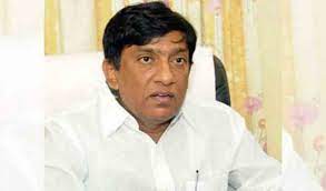
According to Vinod Kumar, satellite mapping would be crucial for constructing the quickest road connections feasible in the future.
In order to improve planning and maintenance, all roads in the state will be mapped using satellite remote sensing technology, according to B Vinod Kumar, vice-chairman of the State Planning Board.
Vinod Kumar stated that the length and width of Panchayat Raj, Roads and Buildings, State Highways, and National Highways roads in the State would be mapped with the aid of remote sensing during a meeting with Additional Director General of Telangana Remote Sensing Application Centre (TRAC) G Sreenivas Reddy and other scientists of the Centre on Monday. He said that satellite remote sensing devices will be used to map even the requirement for culverts and bridges on roadways.
According to Vinod Kumar, satellite mapping would be crucial for constructing the quickest road connections feasible in the future. Future action plans for building roads in the State would use satellite mapping as a guide, he added. He requested that they finish the road satellite mapping procedure by the deadline.


